


Attractions
The Rockpile Vietnam: History & Guide to Elliot Combat Base
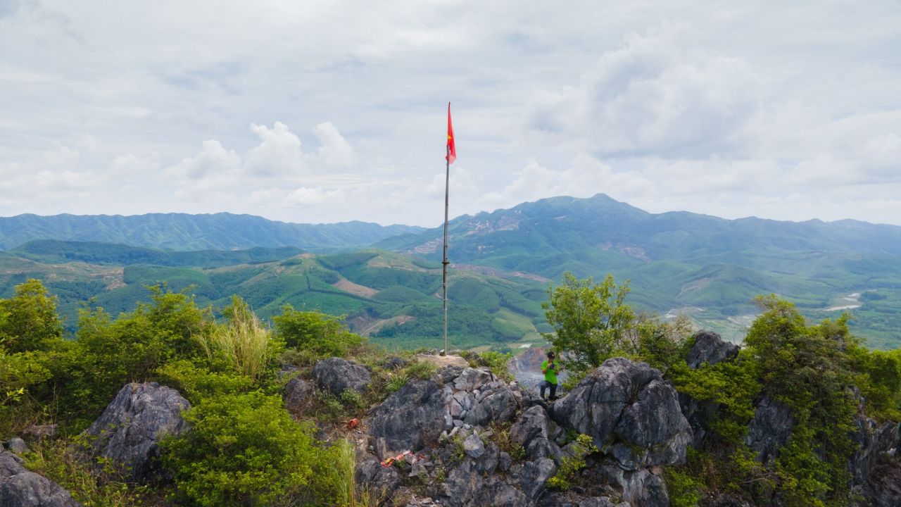
Central Vietnam holds incredible wartime history, and the Rockpile Vietnam stands out as one of its most fascinating landmarks. Rising sharply out of the countryside, this isolated mountain holds a deep legacy from the conflict era. During the war, the U.S. military relied heavily on its unique elevation to monitor troop movements across critical valleys.
Today, travelers exploring the region can pause along historic routes to admire this dramatic peak while learning about its tactical role. We welcome you to dive into the full story, from its fierce military history to practical travel advice for visiting the site today.
Overview of The Rockpile Vietnam & Historical Identity
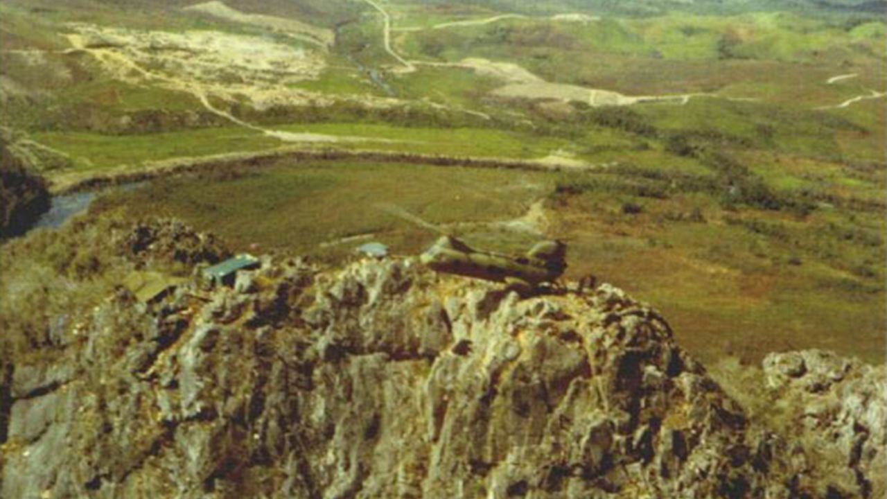
When we look at the historical map of central Vietnam, the Rockpile immediately catches our attention due to its remarkable topography. Officially designated by the military as Elliot Combat Base, this site is an inaccessible karst peak that served as a vital US Marine observation post during the war.
Geologically, the Rockpile forms a steep karst limestone peak that rises steeply above the surrounding valley. In terms of precise measurements, the elevation above riverbed reaches 240 meters, making it a towering natural watchtower over the landscape. The Rockpile stands above the Cam Lo River, giving observers an unimpeded view of the entire surrounding countryside.
To understand its location, we can look at its regional position:
- Administrative Location: Quang Tri Province, Vietnam
- Distance to Dong Ha: 26 kilometers west
- Distance to DMZ: 16 kilometers (10 miles)
- Geological Type: Karst limestone outcrop
The US Marine Corps occupied this peak after realizing its high strategic value. Because the Rockpile is located in Quang Tri Province and sits along Route 9, it quickly became a centerpiece of military operations across the Northern I Corps area.
Tactical Importance and Strategic Location along Route 9
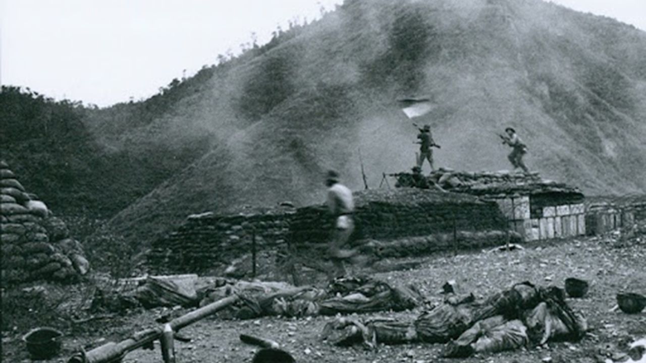
Why did military strategists care so much about this single rock? Well, location is everything. The mountain sits right at the intersection of five major valleys, giving troops an incredible vantage point over key terrain.
During the conflict, troops from the Democratic Republic of Vietnam tried to use the dense mountain ranges on both sides of Route 9 for cover. By occupying the peak, American forces forced enemy movements onto higher, far more dangerous trails.
We can trace how the Rockpile monitored critical Route 9 infiltration routes and watched pathways branching off the Ho Chi Minh Trail infiltration routes.
Furthermore, the Rockpile provided observation for several major allied strongholds in the area, including:
- Khe Sanh Combat Base
- Camp Carroll
- Ca Lu Combat Base
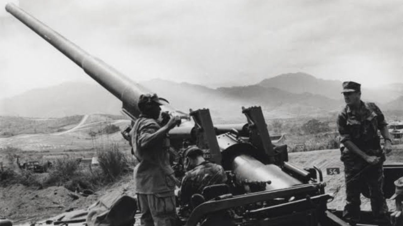
By maintaining control of this high vantage point, troops could call in artillery support and prevent potential ambushes along the road. It essentially acted as an unyielding eyesore for enemy supply lines.
Military History: Establishment and the Battle of Operation Hastings
Military awareness of the site began on July 4, 1966, when a small reconnaissance team from the 3rd Marine Division scouted the mountain. They realized that controlling this peak was essential for regional stability.
Later that month, heavy fighting broke out during Operation Hastings. This massive military action involved over 8,000 U.S. Marines and 3,000 South Vietnamese troops under the command of Brigadier General Lowell English. Operation Hastings targeted the Rockpile area to clear adversary forces from the high ground.
By August 3, 1966, allied forces officially secured the summit. From that day onward, a permanent squad of U.S. Marines remained stationed on top to maintain continuous visual surveillance over the valley network.
Life at Elliot Combat Base: Daily Survival on an Isolated Peak
Living atop Elliot Base was unlike serving anywhere else in Vietnam. Because the sheer cliffs made climbing by foot almost impossible, the Rockpile had primary transportation method (wartime) entirely dependent on aircraft. In short, helicopters supplied Elliot Combat Base with every single item needed for daily survival.
Marine squads rotated onto the peak for stays ranging between 1 week and 2 months. Life up there required adapting to extreme conditions:
- Infrastructure: Three large canvas tents provided shelter, functioning as sleeping quarters, a mess hall, and a basic medical station.
- Sleeping Setup: Soil sieves were repurposed as beds inside the tents.
- Dining: The mess hall contained no chairs or tables; soldiers stood around wooden boards to eat their rations.
- Helipad: Built from heavy timber, though difficult weather conditions frequently made landing too risky.
Because regular water supply lines did not exist, soldiers relied on a helicopter resupply drop for drinking water. When it came time to bathe, water was literally sprayed down on the men directly from hovering helicopters!
Dirty laundry was collected by air and flown away to separate wash stations. Despite these severe hardships, many soldiers found the assignment relatively safe compared to patrolling the jungle below.
How to Visit The Rockpile Vietnam Today: Travel & DMZ Tour Guide
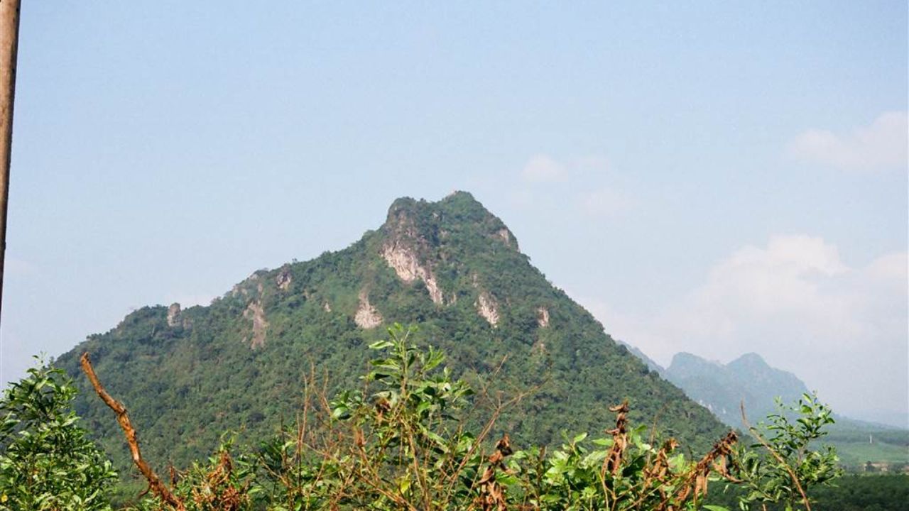
If you are planning a trip through Central Vietnam, stopping by the Rockpile is a highlight feature on any historical travel itinerary. When you visit the region, exploring the unmissable historical sites in Central Vietnam gives you a much deeper appreciation for the country’s past.
However, visitors must keep modern rules in mind:
- Climbing Access: Physical climbing or hiking to the top of the mountain is strictly prohibited due to extreme steepness and safety hazards.
- Observation Points: Travelers view the Rockpile from Route 9 at safe roadside pull-offs and designated viewing platforms.
- Tour Connections: Most travelers visit as part of a broader DMZ Vietnam tour organized from Hue or Dong Ha.
We recommend hiring a knowledgeable local driver or joining a guided tour. That way, you get clear historical context while taking pictures of the dramatic karst scenery.
Historical Significance and Legacy of The Rockpile
Decades after the war ended, nature has reclaimed the surrounding countryside. Today, the Rockpile serves as a peaceful Vietnam War historical destination rather than a military fort.
Every year, visitors from around the globe come to reflect on the past. American veterans visit memorial site at the Rockpile to recall their service and honor fallen comrades. Meanwhile, local communities live peacefully around the base of the majestic rock formation.
The quiet atmosphere surrounding the Rockpile today stands as a powerful reminder of peace, healing, and the enduring resilience of the Vietnamese people.
FAQs about the Rockpile
Can tourists climb to the top of the Rockpile in Vietnam?
No, climbing to the peak of the Rockpile is not allowed for tourists. The vertical karst cliffs present serious safety risks, so travelers observe and photograph the mountain from viewing locations along Route 9.
Where is the Rockpile located?
It is located in Quang Tri Province, Central Vietnam, about 26 kilometers west of Dong Ha City along Route 9, near the Cam Lo River.
How were troops supplied on top of the Rockpile during the war?
Because ground access was nearly impossible up the steep cliffs, all food, ammunition, water, and personnel were transported exclusively by helicopters.
Why was Elliot Combat Base so important during the Vietnam War?
Its 240-meter elevation gave U.S. Marines a 360-degree view over five valleys, allowing them to track movement along the Ho Chi Minh Trail and protect nearby outposts like Khe Sanh Combat Base and Camp Carroll.