


Attractions
Ho Chi Minh Trail: History, Route, and Legacy Explained
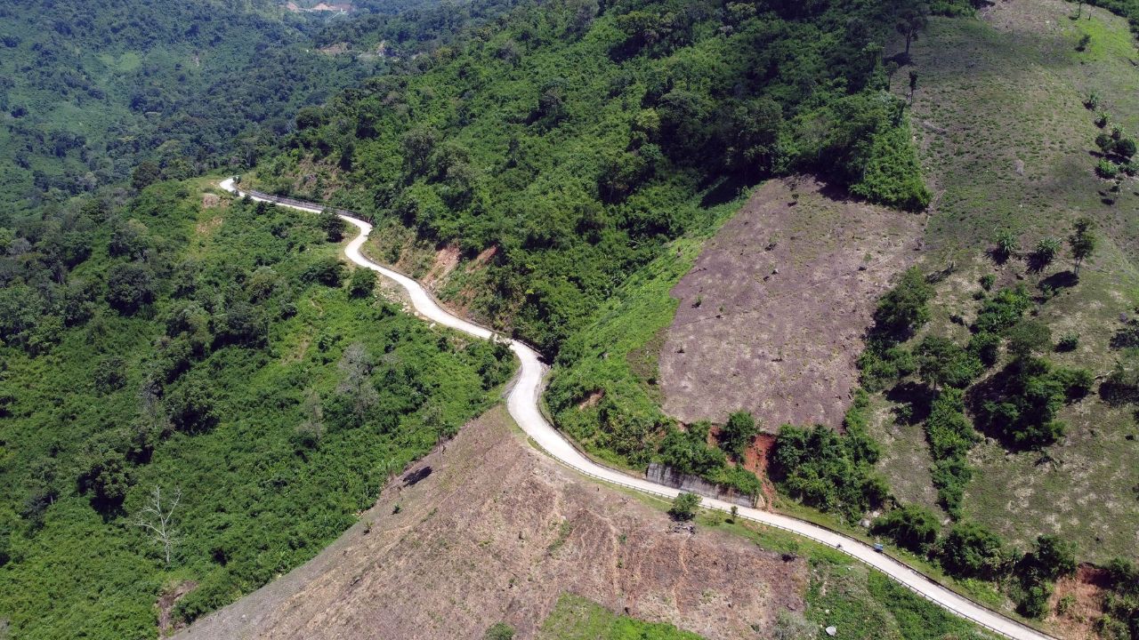
The Ho Chi Minh Trail is one of the most remarkable logistical achievements in modern military history, and honestly, once you start digging into it, you can’t stop. This trail wasn’t just a single road. It was a huge web of paths, rivers, and hidden pipelines that ran through Laos and Cambodia, connecting North Vietnam to South Vietnam during the Vietnam War.
In this article, I want to walk you through where the trail came from, how it was built, who ran it, how the United States tried to stop it, and why it still matters so much today.
What Was the Ho Chi Minh Trail?
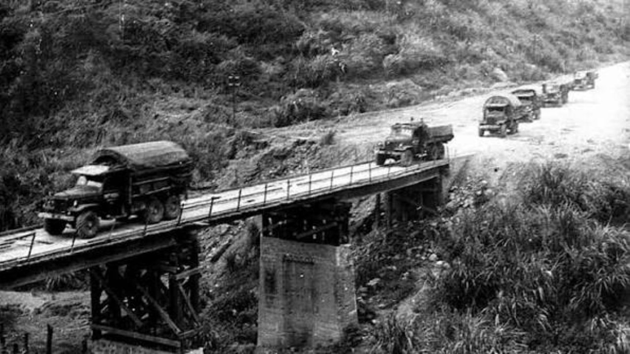
So what exactly was the Ho Chi Minh Trail? In simple terms, it was a massive supply network built and controlled by the People’s Army of Vietnam (PAVN). Locally, it’s called the Trường Sơn Trail, named after the Annamite mountain range it wound through.
The trail’s whole purpose was to move manpower and materiel from North Vietnam down to Viet Cong and PAVN forces fighting in South Vietnam. Think of it like a giant supply chain, except instead of trucks on highways, you had porters, bicycles, and eventually convoys pushing through some of the harshest jungle terrain on the planet.
I like how straightforward this core idea is, even though the execution was incredibly complex. North Vietnam needed a way to support its allies in the south, and building this hidden corridor through neighboring countries was the answer.
Origins and Early Development (1959)
The 1959 Invasion of Laos
Everything really kicked off in July 1959. PAVN forces, working alongside the Pathet Lao, pushed into Laos and started fighting the Royal Lao Army along the border. This wasn’t random. Laos had already seen a shift toward a right-wing, U.S.-aligned government, and Hanoi wanted a reliable corridor that avoided the heavily guarded Vietnamese Demilitarized Zone.
Formation of the 559th Transportation Group
Right after that, in September 1959, Hanoi set up the 559th Transportation Group, based in Houaphan province. This unit, initially commanded by Colonel Võ Bẩm, became the backbone of the entire trail system.
What I find fascinating is that parts of this network weren’t new at all. Some paths had existed for centuries as simple trade footpaths, so the North Vietnamese weren’t starting from zero, they were expanding something ancient into something massive.
Route, Geography, and Terrain
This is where the story gets physically brutal. The trail cut through mountains rising 500 to 2,400 metres, covered in triple-canopy jungle and dense tropical rainforest.
If you’ve ever hiked through thick jungle here in central Vietnam, you know how disorienting and exhausting that terrain can be, and multiply that by the pressure of moving troops and supplies under constant threat of bombing.
The weather played a huge role too. The rainy season, from mid-May to mid-September, dumped about 70% of the region’s yearly rainfall, roughly 3,800 mm. The dry season, running mid-October to mid-March, made travel easier but also made trucks more visible to enemy aircraft.
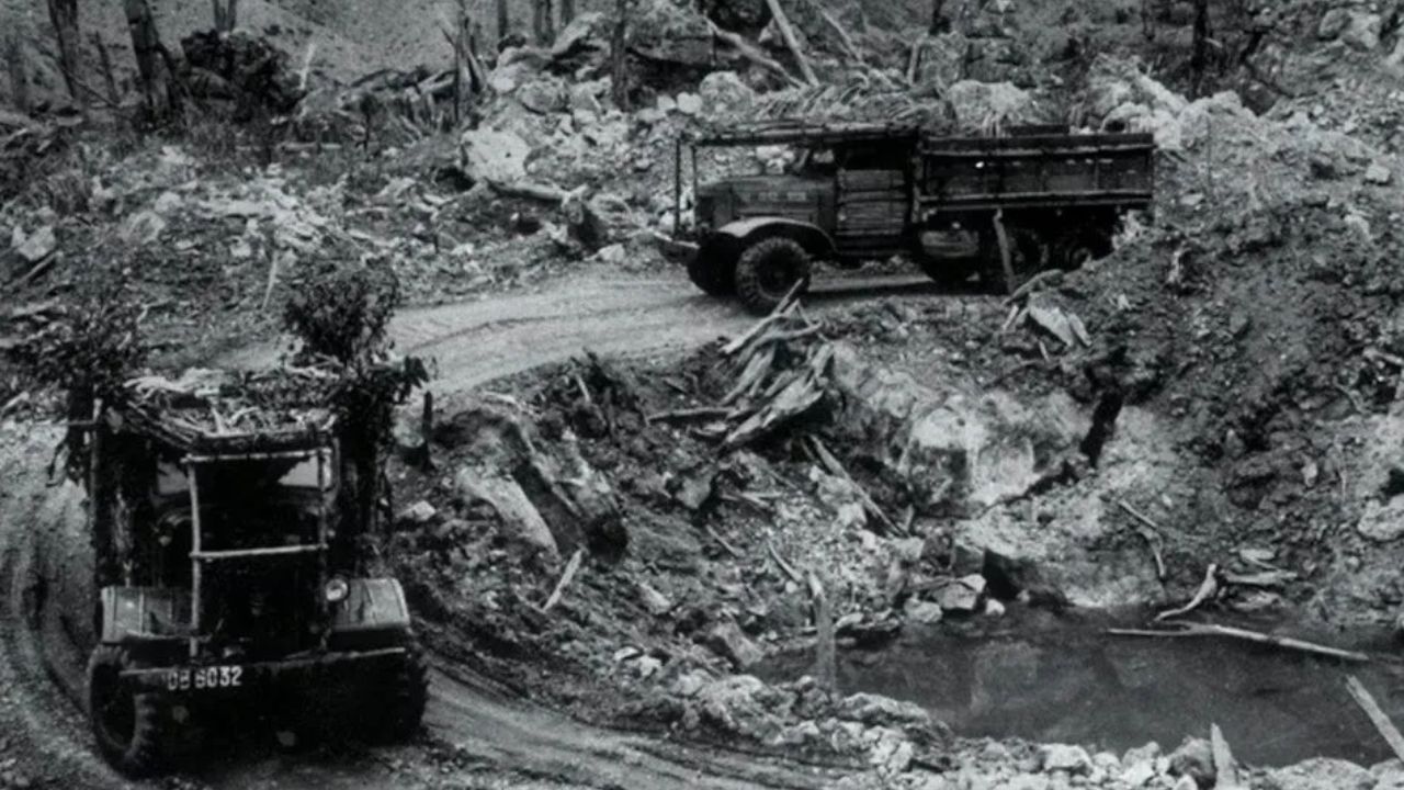
Over time, engineers built roads about 5.5 metres wide, some paved with gravel and reinforced with corduroy logs, and eventually the canopy grew thick enough that trucks could drive the entire route without ever being exposed from above.
Base Areas and Key Stations Along the Trail
The trail wasn’t one continuous road, it was more like a chain of hubs. Five major base areas sat in the Laotian panhandle, and each had a specific job:
- BA 604 acted as the main logistical center, coordinating men and supplies into South Vietnam’s Military Region I.
- BA 611 moved goods between BA 604 and BA 609, and also fed fuel and ammunition toward the A Shau Valley.
- BA 612 supported the B-3 Front in the Central Highlands.
- BA 614 handled movement into Military Region 2.
- BA 609 had a strong road network, which made rainy season transport possible.
Connecting these base areas were Binh Trams, regimental logistical headquarters responsible for securing sections of the network. One example, Binh Tram 31, included engineer battalions, truck transport units, anti-aircraft battalions, infantry companies, and even surgical teams. It’s honestly like a small city moving through the jungle.
How the Trail Operated
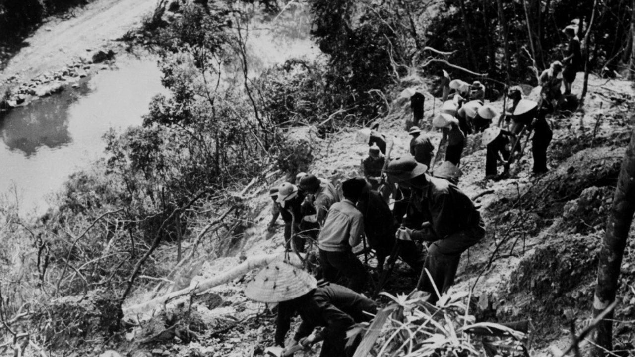
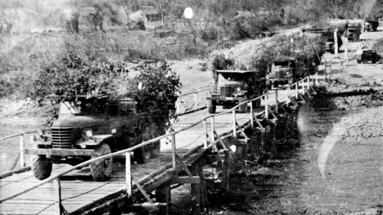
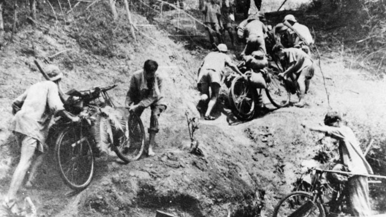
In the early days, everything relied on human effort. Porters, oxcarts, and bicycles loaded with supplies moved slowly but steadily. Later, trucks using Soviet, Chinese, and Eastern Bloc models took over as the main method of transport, working in relay convoys.
A truck would drive to one station, unload, and the next station would send a fresh vehicle onward. If a truck got destroyed, it was replaced from the next station up the line, almost like a conveyor belt system that never stopped.
One detail I really like is the underground fuel pipeline. Engineers eventually built around 5,000 kilometres of pipeline, shipping over 270,000 tonnes of petrol south. Some sections of that pipeline were reportedly still functioning decades later, into the 1990s. That’s the kind of long-term infrastructure that sticks with you once you learn about it.
Command Structure and Key Leaders
Several commanders shaped how the trail evolved. Võ Bẩm got things started, Phan Trọng Tuệ expanded the transportation battalions by 1965, and General Đồng Sỹ Nguyên took over in 1967, overseeing massive road expansion.
Later, Hoàng Thế Thiện took command as the system reorganized into the Truong Son Command. Each leader adapted the trail to survive changing threats, which honestly says a lot about how flexible this whole operation had to be.
United States Efforts to Stop the Trail
Bombing Campaigns
The U.S. launched a series of operations to cut off the trail, including Operation Barrel Roll, Operation Steel Tiger, Operation Tiger Hound, and later Operation Commando Hunt. These campaigns escalated year after year, turning southeastern Laos into one of the most heavily bombed regions in history.
Ground and Reconnaissance Operations
On the ground, the CIA backed the Royal Lao Army, while MACV-SOG ran cross-border reconnaissance missions starting in October 1965. These teams gathered intelligence and placed sensors, working hand in hand with the aerial campaigns.
Technological and Experimental Efforts
The U.S. even tried unusual tactics. Operation Igloo White used acoustic and seismic sensors linked to a computer system in Thailand to predict truck movements. Project Popeye attempted to extend the rainy season through cloud seeding, and Project Commando Lava tried to turn roads into mud using chemicals.
Defoliation missions under Operation Ranch Hand sprayed roughly 1.8 million litres of Agent Orange and Agent Blue across Laos to strip away the jungle cover.
None of these efforts fully stopped the trail, and that alone tells you how resilient this system really was.
Major Battles and Turning Points
Operation Lam Son 719 in early 1971 stands out as one of the biggest attempts to directly assault the trail. ARVN troops crossed into Laos, but PAVN forces fought back hard, and the operation ultimately failed as a test of Vietnamization.
Before that, the trail played a huge role in building up supplies for the Tết Offensive in 1968. Later, during the 1972 Easter Offensive, PAVN used the expanded trail network to launch a large conventional invasion supported by tanks.
The Trail’s Role in the Fall of Saigon
By 1973, the system had grown into a two-lane paved highway, and by 1974 a fully paved four-lane route connected the Central Highlands to Tây Ninh Province. This massive upgrade allowed PAVN to move troops and equipment faster than ever, setting the stage for the final offensives that led to the fall of Saigon on 30 April 1975.
Legacy and Historical Significance
Historians still debate the trail’s exact impact, but most agree it was one of the most remarkable logistical achievements of the 20th century. The U.S. National Security Agency itself once called it “one of the great achievements of military engineering.” Even decades later, parts of the old pipeline and road network remain visible, and some sections of road are still used by local communities today.
If you’re planning to visit places connected to this history in Central Vietnam, I’d honestly recommend checking out this guide to memorable local experiences around Phong Nha, since several trail-related sites and war remnants sit near this region.
FAQs
What was the main purpose of the Ho Chi Minh Trail?
Its main purpose was to move troops and supplies from North Vietnam to Viet Cong and PAVN forces fighting in South Vietnam.
Who controlled the Ho Chi Minh Trail?
The trail was controlled by PAVN, specifically through the 559th Transportation Group.
How long was the Ho Chi Minh Trail in use?
It was built and used from 1959 to 1975.
Did the United States ever fully stop the trail?
No, despite years of intense bombing and multiple experimental operations, the trail continued operating until the end of the war.
Where can I see remnants of the trail today?
Several sections and related war sites are located in central Vietnam, including areas near Phong Nha, which are worth exploring if you enjoy historical travel.